BEIT SHEARIM FIELD REPORT PART 1
Beit Shearim
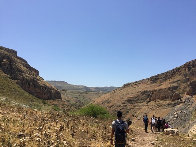
To get to Bet Shearim we crossed Kiriat Tivon. We passed through its suburb Kiriat Amal, established during the 1930’s to house the workers of the area of Haifa Port, the oil refineries, and the factories. The Bet Shearim National Park, 75 hectares in area, includes the 2nd century CE town of Bet Shearim, built at the top of the hill, and the underground Jewish cemetery dug into its slopes.
In its latest period, before the establishment of the state of Israel, Alexander Zaid guarded the site. He belonged to the movement HaShomer, established in 1908 to guard the Jewish settlements of the time. The Arabs had guarded them until then. Alexander came from Russia in 1904. He played a role in the establishment of Kfar Giladi in Tel Hai, was a non-conformist and did not want to live in a kibbutz. He went to the Keren Kayemet and asked to be a guard in the forests that were just planted in the Alonim area. In 1926 he chose a hill (which happened to be the one of Bet Shearim), set up a tent, and lived with his wife and 4 kids. Later on he built a house on the site where his great-grandson is still living today. He was a guard in the fields of the Jezreel valley and this forest. In 1938 the kibbutz Alonim was established just beyond this hill. Taking advantage of his knowledge of the area and his contact with the local Arabs, they use to include him in the meetings of the kibbutz, sounding a bell to draw his attention and make him come. On the 11th of July he heard the bell, rode on his horse to join the meeting, was ambushed and killed. His wife Zippora waited all night for him, decided to look for him, went out late at night with the 4 kids and found his body. In the place where Zippora found him, there is the rock with inscription that reads, “Here fell Alexander Zaid.” Not wanting that this death should be in vain she asked for revenge. A local Bedouin by the name of Tabash was the killer. A Hagana member killed him with the rifle of Trumpledor, stating that no person that guards a Jewish settlement should be assassinated.
Sheik Ibrek was the name of the Arab village of the time, and no one knew then that this was the site of Bet Shearim.
Geographical location
Bet Shearim is located in the Western part of Lower Galilee, which was also called Givaot Alonim: the Hills of Oak Trees. It is covered with oak trees (alon, alonim), and that is the reason that in 1938 a kibbutz was created by the name of Alonim. Later on another settlement Alonei Aba was established by the German Templers in the 2nd half of the 19th century. Nearby the junction is Hutzot Alonim, with a shopping center.
This area is made of white soft chalk limestone ideal to create caves. It is fertile agricultural land, easy to tread, and that is the reason why in prehistory there were many settlements. The height is 220-250 ms. above sea level.
The Central part is a combination of ridges and valleys from South to North: Jezreel valley: Emek Jezreel, Mt.Nazareth, The Valley of Rimon, Tiraon, the valley of Bet Netufa, Ridge of Jodvat, Valley of Sachnin, Ridge of Shagor, and lastly the Valley of Bet haKerem that is the border of Upper and Lower Galilee. (Sipori is in Central part of Lower Galilee.)
The adjacent Jezreel Valley was very fertile and was the bread basket in the 2nd temple period. The produce was kept in Bet Shearim for the authorities and the army. Josephus came and took supplies for his soldiers during the revolt.
Name. – The Verse in Genesis 26:12:” Isaac planted seeds in that land and in that year found 100 doors” Shearim in the biblical meaning has double meaning: “fold”, great increase and “gates”=place of judgment as in Deuteronomy 21:19.
In the 2nd Temple Period Bet Shearim was a large agricultural rural settlement, attracting the coming of the Jews from Judea after the Temple’s destruction and Bar Kochba Revolt. Jews moved to the Galilee, including the moving of 24 priestly families (Chronicles 24). During the temple there were 24 families assuming the necessary tasks. They lived all over the country: In Jericho, Gofna, Modiim (Hanuka’s story). After the destruction of the 2nd Temple the priests assumed that it would be rebuilt soon, as had occurred with the 1st Temple. They wanted to be prepared, and they lived with their families, each family living in another part of Galilee, in a different village. There was one such family in Bet Shearim. We have data showing where each family established itself.
The Sanhedrin moved from Lishkat haGazit to Yavne, Usha, Shefaram, Bet Shearim, Sipori, and Tiberia.
The most important person that lived in Bet Shearim was rabbi Jehuda haNassi. . Jehuda the Prince was the Head of the Sanhedrin , composer of the Mishna, spiritual and administrative leader of the Jewish people at the time. He had a close relationship with Roman authorities, Emperor Antoninus or Caracalla.
He died in 224 and was buried here, although he moved the last 17 years to Sipori. He asked to be buried in Bet Shearim in his family burial cave. From then on Bet Shearim became the most important place of burial of the Jews in the Middle East for 150 yrs until the mid 4th cent. Jews wanted to be buried in Eretz Israel, could not be brought to Judea or Jerusalem, so they chose to be buried next to the Rabbi. After the rebellion of Gallus in 351CE the whole site was destroyed.
ARCHEOLOGICAL EXCAVATIONS
After Alexander Zaid discovered by chance some burial caves, B.Mazar (1935-40) and N.Avigad (1953-58) excavated the hill under the auspices of the Israel Exploration Society the Park. Only 3% of site has been excavated. An inscription found there identifies the name Basara.
VILLAGE OF BET SHEARIM
The city extended over the entire summit of the hill- an area of some 25 acres (100 dunams), 450 ft. (137 m.) above sea level.
A wall, two sections of which were exposed, surrounded it. Remains of large buildings were uncovered on the northeastern part of the hill.
Synagogue. We walked up to a large rectangular basilica like structure, in which only two courses of ashlar blocks have survived. The size is 115 X 49-ft. (35 X 15 m.). It is a characteristic structure of the beginning 3rd century CE Galilean synagogue. The front of the synagogue was oriented towards Jerusalem and contained 3 entrances that entered into a large columned hall. The persons had to turn 180 degrees to pray towards Jerusalem. The bases of the columns have been preserved. Architectural elements were found scattered among the ruins.
On the side far among the trees is the building of the Zaid family house.
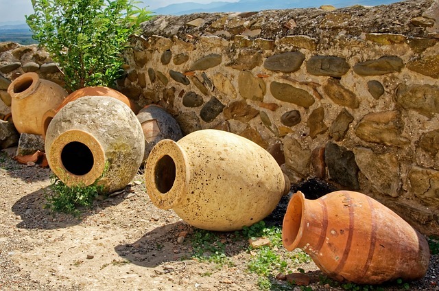
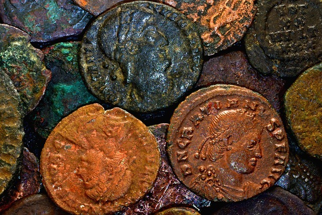
Going down the hill were seen remains of houses and courtyards and what might have been a glass workshop. Many small artifacts were found: metal, pottery, glass vessels and some 1200 bronze coins, all of which were struck in the first half of the 4th century CE These coins made possible to determine the date of the destruction of all the buildings of the area. Further on we see an olive memel press. Walking east, we see the remains of another memel oil press with a screw. In the 1st Century the screw press replaced the beam press. Two vertical beams implanted into holes of the stone base supported a horizontal beam over the sacks of crushed olives. A larger wooden screw was placed in the horizontal beam and turning the screw created baskets.


 The 18 November field trip consisted of visits to the Israel Lands Authority in the morning and the Bible Lands Museum Jerusalem in the afternoon.